The Villages Google Maps Won’t Show You: Hidden Corners of the World That Refuse to Be Found
This one’s the most infamous of them all. North Sentinel Island isn’t just missing from Google Maps—it’s actively protected from being discovered. The people who live there, the Sentinelese, have had little to no contact with the outside world for thousands of years.
Here’s something weird: In a world where satellites can zoom in on the freckles on your nose, there are still places—entire villages—that remain blurred, blank, or just straight-up missing on Google Maps. Why? That’s the uncomfortable truth no one really talks about.
These aren’t just some glitched pixels or map errors. Some of these places are intentionally hidden, forgotten by time, or stubbornly resisting the digital gaze. In this article, we’re taking a raw, off-the-grid look at the mysterious villages that Big Tech either can’t—or won’t—pin on the map. Some are hidden for political reasons. Others for survival. And some? Well, maybe they just don’t want us to find them.
North Sentinel Island, India – Where Outsiders Aren’t Welcome
This one’s the most infamous of them all. North Sentinel Island isn’t just missing from Google Maps—it’s actively protected from being discovered. The people who live there, the Sentinelese, have had little to no contact with the outside world for thousands of years.
Why you’ll never visit (and shouldn’t try):
- The Indian government has made it illegal to go anywhere near the island—trespassers risk arrows, or worse.
- No one knows their language, their beliefs, or even exactly how many people live there.
Their location is intentionally blurred on digital maps. Not because of bad tech—but because some cultures deserve distance, not data.
Tomioka, Japan – The Village Frozen by Radiation
Remember the Fukushima disaster back in 2011? The ripple effects are still showing. The village of Tomioka, once vibrant, was evacuated overnight due to radiation. And here’s the wild part—it still doesn’t fully show up on some digital maps.
It’s like a ghost. You see the roads, the outline of buildings, but try to get walking directions and... nothing. Because no one walks there anymore.
So what’s it like now?
- Some parts have reopened—but many remain abandoned, eerie, and silent.
- Wild animals roam freely where children once played.
Mezhgorye, Russia – A Village That’s Literally Off the Map
Don't believe that hidden bases only appeared in movies. In the Russian Ural Mountains, Mezhgorye is a closed town that has never really been "on the map." As in, at all.
No street view. No directions. No public records. Just blank space where a town should be.
Theories? Oh, there are plenty:
- Some say it’s linked to Mount Yamantau—rumored to house a top-secret nuclear bunker.
- Others think it’s a military testing site disguised as a civilian village.
La Rinconada, Peru – The Highest (and Least Documented) Town on Earth
"Wait, people live there?" is what you think when you hear about a place like this. Standing 16,700 feet above sea level, La Rinconada is the highest permanent settlement on Earth. However, Google Maps barely knows how to use it.
No clear roads. No 360-degree views. Just a pin floating in the clouds.
What’s going on there?
- It’s a gold-mining town where people live without running water, proper housing, or garbage collection.
- It’s chaotic, unregulated, and insanely hard to reach—even if you're standing nearby.
The digital world has basically given up on mapping it. Maybe because no algorithm can capture the sheer madness of surviving up there.
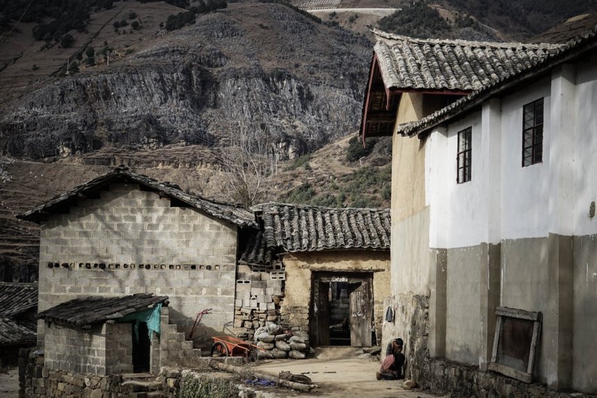
Daldo, Eritrea – A Village That Resists the Internet
This tiny village in the highlands of Eritrea doesn’t appear on most maps. Not because of secrecy—but because of neglect. And that’s maybe even sadder.
No street names. No geotags. No Wikipedia entry. Just a few blurry satellite images and the word of travelers who’ve been lucky enough to find it.
Why it matters:
- Daldo isn’t hiding. It’s just ignored.
- Villagers live without GPS, smartphones, or even consistent electricity.
In the age of digital everything, places like this remind us: if Google doesn’t list you, do you still exist?
Bir Tawil, Africa – A Village in No Man’s Land
Imagine a place that belongs to nobody. That’s Bir Tawil, a tiny patch of land between Egypt and Sudan that neither country claims. It’s not just off Google—it’s off every government radar too.
There are rumors of tiny communities or nomadic tribes that pass through, but... good luck confirming that.
What makes it spooky?
- It’s not under any government. Like, literally none.
- No laws. No infrastructure. No address.
And still—people try to “claim” it online. Some YouTubers even declared themselves kings of Bir Tawil. That’s cute. Until you realize there’s nothing there but dust, silence, and the occasional goat.
Kitsault, Canada – A Perfect Village with No People
This one feels like a setup for a horror movie. Kitsault in British Columbia was built in the 1980s for workers at a molybdenum mine. Then the mine shut down. And everyone left. Overnight.
Today, the village is fully intact: homes, stores, power, plumbing. But it’s locked up and empty. You can’t visit without special permission.
Why it creeps people out:
- It looks lived-in... but no one’s home.
- The lights still work. The buildings are clean. There’s even a movie theater.
So, Why Doesn’t Google Show These Places?
Let’s be honest—Google Maps is smart. Like, borderline creepy smart. So when places disappear or remain untouched on the platform, it’s rarely an accident.
The reasons vary:
- Privacy: Some communities don’t want to be found.
- Politics: Some borders are too messy to map clearly.
- Lack of data: If no one sends info from the ground, the algorithm shrugs.
But maybe—just maybe—it’s a reminder. That not everything needs to be tagged, tracked, and uploaded.
Share
What's Your Reaction?
 Like
0
Like
0
 Dislike
0
Dislike
0
 Love
0
Love
0
 Funny
0
Funny
0
 Angry
0
Angry
0
 Sad
0
Sad
0
 Wow
0
Wow
0